Lake Fishing
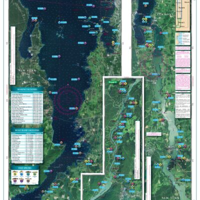
These Lake Fishing charts include the most up to date information available from NOAA Resources, Local Captains and Tackle Stores. The most popular fishing area are highlighted, the species caught in that area are noted and pre-plotted GPS Coordinates are given. Many of the popular marine facilities are listed as well.
All of our Waterproof Charts are printed on Environmentally Friendly synthetic paper, can be marked on with a pencil and some grease pens. Coverage areas are from Maine to Texas, Bahamas and Caribbean Islands, Great Lakes and the West Coast of the United States from Washington down to Mexico.
Showing 1–9 of 12 results


