CHARTS BY REGION
BAHAMAS
CALIFORNIA & MEXICO
CARIBBEAN ISLANDS
CAROLINAS & GEORGIA
FLORIDA
GREAT LAKES
GULF COAST
Standard Navigation
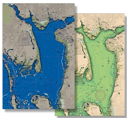
Identified by the Red Title Block. Developed in 1984, Waterproof Charts was the first company to successfully reproduce government paper charts on waterproof, tearproof, synthetic paper
Large Print Charts
Not only do these special editions have larger print but they combine other features which make them much easier to read and use
Inshore Charts
These charts have all of the great quality features you’ve come to expect from Waterproof Charts! They cover the inshore fishing areas in complete detail, and pinpoint dozens of fishing areas and the fish caught in each area
Coastal Charts
These charts come with dozens of pre-plotted GPS coordinates, making it easier to find important fishing locations

FRAMED CUSTOM CHARTS
FRAMED CUSTOM CHARTS


CUSTOM CHARTS
PERSONALIZE YOUR EXPERIENCE
By popular demand! Professional, custom framing at affordable prices! Ready to hang! The price includes the frame, the chart, labor, and FREE SHIPPING directly to the continental US. Call us for shipping prices to other locations! Frames are solid wood (view frame choices) with your choice of double matte colors (2 ½ inch).
Please be sure to specify which side of the chart is to be framed, as our charts are two sided. When you view any chart on our website, Side A is first. Do not hesitate to contact us if you are unsure about your side choice.
CUSTOMIZE


