Description
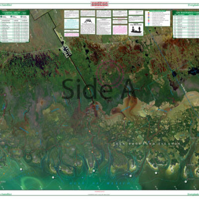
A great chart which provides detailed coverage of the Anclote River and Tarpon Springs. Also provides detail of the coast up to Chassahowitzka Bay. This chart covers the area in between Chart #31E and Chart #5E. GPS Waypoints are printed directly on the chart. If you want to plan a trip to Honeymoon Island, you just need this nautical map. This navigation map provides detailed coverage of the Anclote River and Tarpon Springs. Also provides detail of the coast up to Chassahowitzka Bay. This navigation chart covers the area in between Chart #31E and Chart #5E. GPS waypoints are printed directly on the nautical map to help you find points of interest in the area. These navigation charts are full of vibrant colors and detailed information we gather from a variety of sources. Framed nautical charts also make great pieces of art to display on an office or home wall. Nautical Chart is 25″ X 38″. WGS84 – World Mercator Datum.


Reviews
There are no reviews yet.