Description
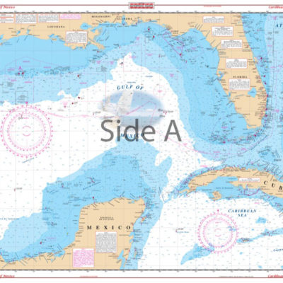
Both coastal and intracoastal coverage from Ponce de Leon inlet south through Daytona to Cocoa on side A, including detail of the Banana River and Port Canaveral.
Side B starts at Port Canaveral and covers south to Sebastian Inlet with coastal coverage up to 5 miles offshore and the Intracoastal Waterway. Information from 4 NOAA Charts: 11476, 11472, 11485, & 11484. WGS84 – World Mercator Datum.
25″ x 38″.


Reviews
There are no reviews yet.