Description
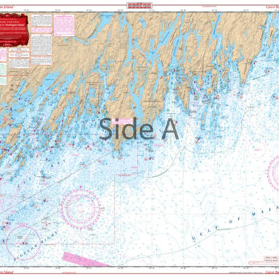
Two different scale charts covering the approaches to New York narbor. One side covers the area from Shark River, New Jersey north to the harbor, and from Fire Island west to the Harbor. The other side covers much further offshore out to Nantucket Shoals to the east and south of Atlantic City, New Jersey. This offshore side covers the “Canyon Drop Off” and includes Carteret, Toms, Hudson, Block, Atlantic, and Beach Canyons. Information from 2 NOAA Charts: 12300 and 121326. WGS84-World Mercator Datum.
25″ x 38″.


Reviews
There are no reviews yet.