Description
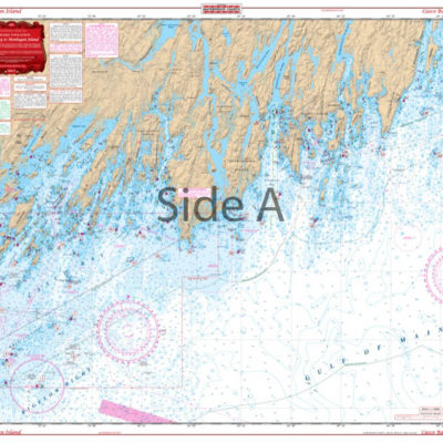
From Pt. Dume and Paradise Cove, covers area south to Dana Point Harbor and out to Catalina. Harbor Details for Dana Point, King Harbor and Marina Del Rey. Fueling facilities designated. You can now easily plot your trip from Pointe Vicente to Catalina Island with this marine map. From Pt Dume and Paradise Cove, covers the area south to Dana Point Harbor and out to Catalina Island. Harbor details for Dana Point, King Harbor and Marina Del Rey are included. Fueling facilities are designated to ensure you always have a full tank. The vibrant colors of this navigation chart make it easy to see and excellent for framing. Information from 2 NOAA Charts; #18744 and #18746. Nautical Chart is 25″ X 38″. WGS84 – World Mercator Datum.


Reviews
There are no reviews yet.